


The Biden administration issued final rules Wednesday to require airlines to automatically issue cash refunds for things like delayed flights and to better disclose fees for...


NASHVILLE, Tenn. (AP) — Protesters chanted “Blood on your hands” at Tennessee House Republicans on Tuesday after they passed a bill that would allow some teachers...

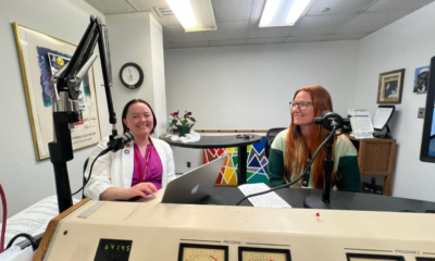
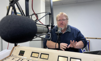
Council members, Mackenzie Mindel and Mac Kiel, in the WIZM studio for La Crosse Talk PM discussing city being 1 of 100 in world awarded youth...


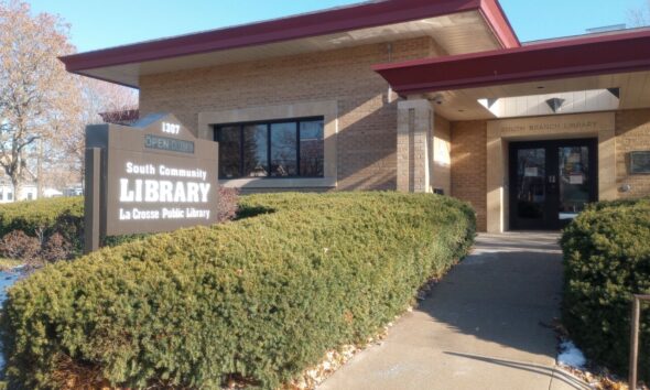
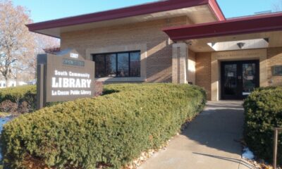
A branch library on 16th Street in La Crosse, that closed late last year, could be converted into housing or a commercial office. Those are the...
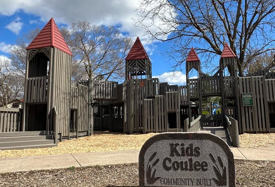
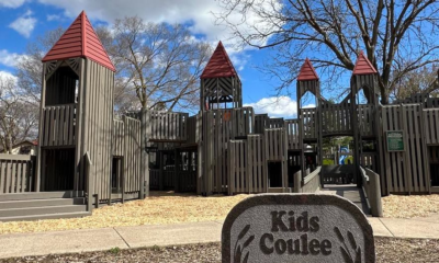
Nearly two years after reconstruction began, an old playground is renovated and reopened in La Crosse. Kids Coulee playground in Myrick Park was dedicated with a...

Donald Trump is headed back to Wisconsin. The former president will make a campaign stop in Waukesha on May 1. Trump will hold a 2 p.m....


NEW YORK (AP) — The Biden administration has finalized a new rule set to make millions of more salaried workers eligible for overtime pay in the...


The Coulee Region Humane Society says it’s in desperate need for foster families, after taking in 10 dogs over the weekend. Coulee Region’s kennel space is...


WASHINGTON (AP) — The Senate passed legislation Tuesday that would force TikTok’s China-based parent company to sell the social media platform under the threat of a...


Whether it’s skiing, fishing or hunting, a local nonprofit out of Holmen has been working hard at allowing those who are physically or otherwise challenged take...
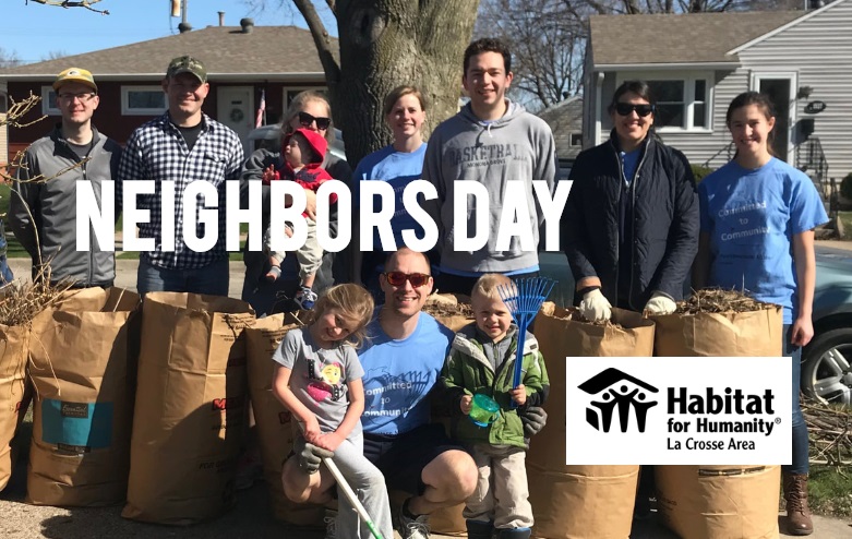
They can always use more volunteers. Habitat for Humanity of the La Crosse Area is preparing for its yearly Neighbors Day on Saturday. Kahya Fox, the...
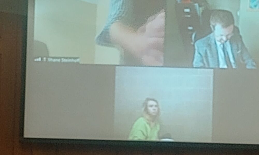

Three people are facing charges following a weekend drug bust in Holmen, which police believe may be the biggest drug seizure ever in their village. Steven...